Ngāti Whakaue Area of Interest
The area of interest (rohe) for a treaty settlement outlines the land and resources connected to the hapū, whānau, and Wai claims within the settlement kaupapa. These boundaries are based historical evidence and take into account any overlaps with other claimant rōpū. If some hapū, whānau, or Wai claims are also included in other groups’ mandates, this will need to be discussed during the negotiation and mandating process (these are called overlapping interests).
Coastal
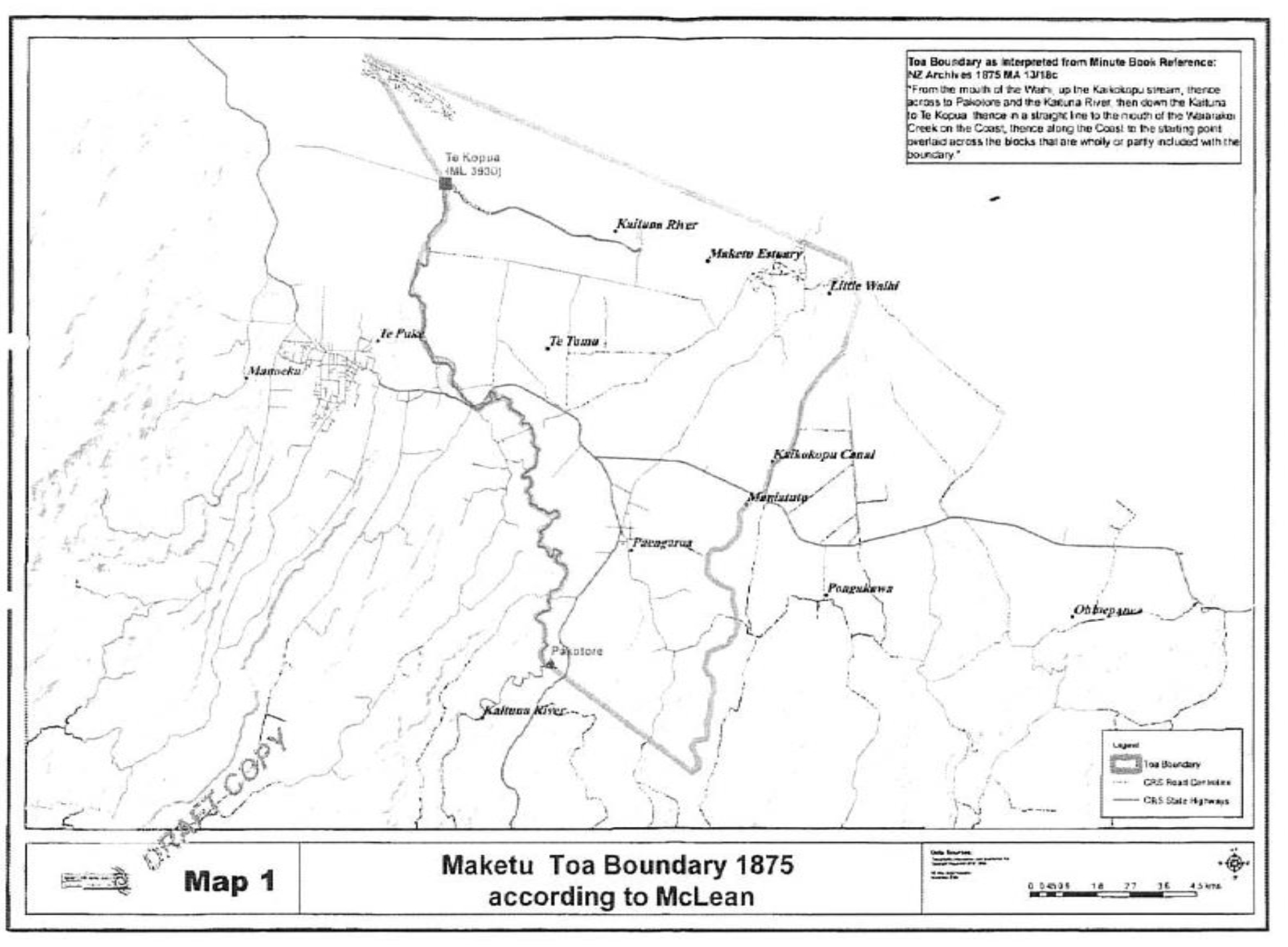
Since the early 1830s possession of key parts of Maketū from the mouth of the Waihi, up to Kaikokopu stream then across to Pakotore and the Kaituna River, then down the Kaituna to Te Kopua, then in a straight line to the mouth of the Waiarakei Creek on the coast, then along the coast to the starting point overlaid across the blocks that are wholly or partly included in the boundary.
Key features in our coastal area of interest are Maketū Peninsula, Ōngātoro Estuary Te Awa o Ngātoroirangi, Bledisloe Park (Te Kahuirangi).

Inland
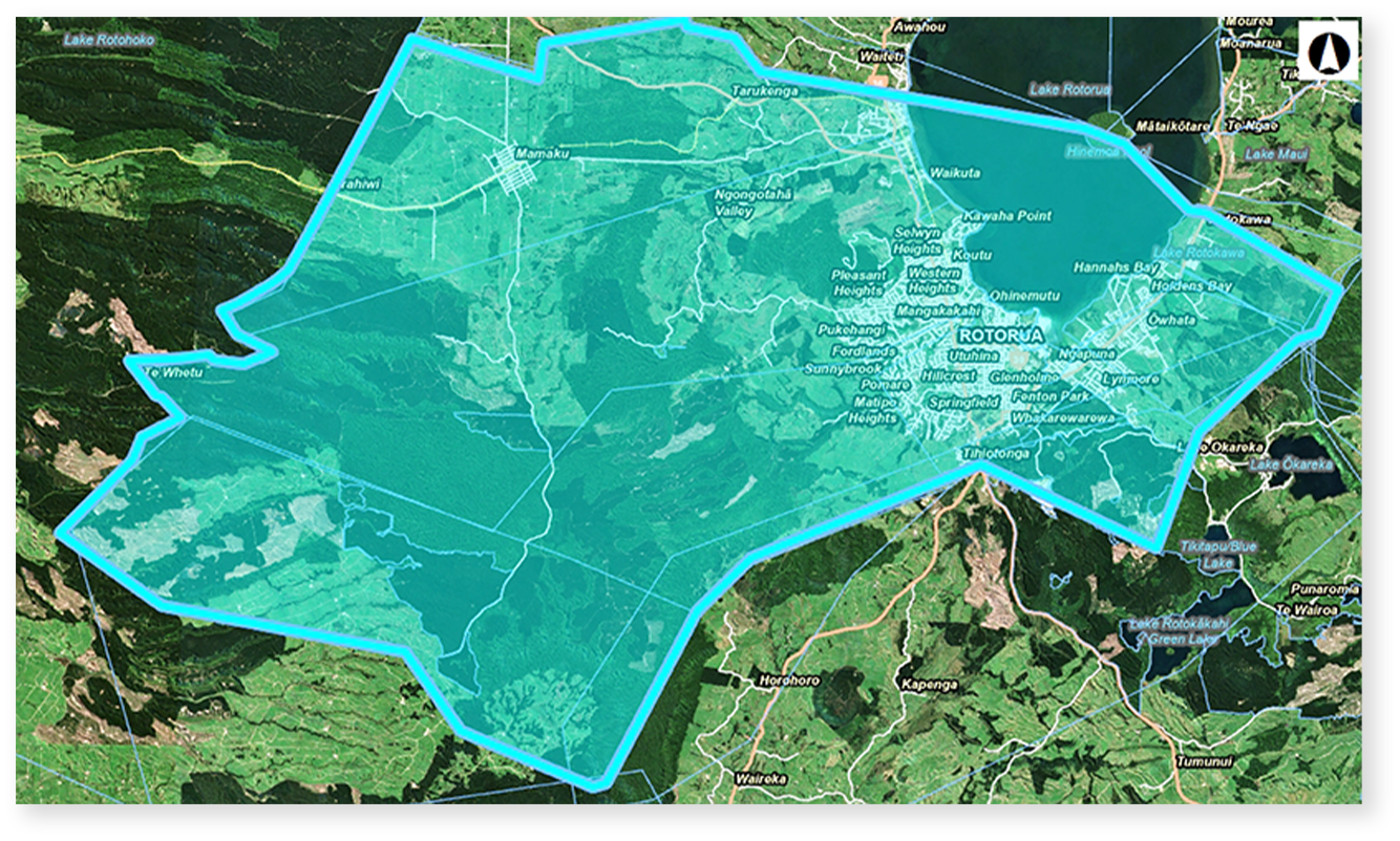
The extent of Ngāti Whakaue’s inland domain (traditional tribal estate) is outwards from Mokoia Island west to Waimihia stream (north of Ngongotahā) and east to Waikawau Stream (Hannahs Bay). Our wider area of interest extends south to the Mihi Bridge. Ngāti Whakaue traditional estate area includes key features; Rotorua-nui-ā-Kahumatamomoe, the Waiteti, Ngongotahā, Utuhina, lower reaches of the Puarenga streams/rivers, Waipa and Hemo Fresh Water Springs, nga maunga Ngongotahā me Moerangi, the Horohoro Bluff, the Patetere Kaokao Ranges and geothermal resources.